
AnyGIS
Online maps pack
| Main page | Articles | Download maps | Donate |
Vector and raster maps

A bit of theory
A brief introduction to explain the strengths and weaknesses of the cards from this collection. The fact that the image on the computer can be stored in two main ways: vector and raster formats.
A bitmap is a grid of small square dots (pixels). The image file stores information about the color of each point. And the larger and more detailed the image, the more you need these points and the larger the file size.
Vector images are a collection of geometric shapes. Only the coordinates of these shapes and their colors are stored in the file.
The most important thing for us now is that vector files are much smaller than raster files. They take up less space and download faster. On the other hand, bitmaps usually look more natural.

The real situation
You ask how this information relates to maps? The fact is that the developers of mobile navigation applications encourage users to download vector maps in the first place. Among them Maps.me, GuruMaps, OsmAnd and many others. All these vector maps take up very little space. Moreover, for the convenience of users, they are even divided into parts, so that they can download only a specific city or region. It is quite natural that this option is the most simple, fast and convenient for most users.

However, some people do not like the standard rendering of vector maps. Well, there are sites that have already made a more complex and pleasing to the eye drawing of the same vector maps, saved them in raster format and published for download. Such maps often have terrain, contours and other nice detailed textures. Just compare:

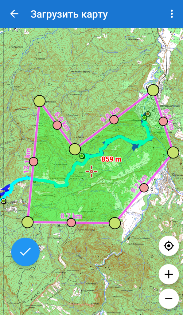
Unfortunately, these maps take up a lot of space, like all bitmaps. For comparison, the entire vector of Russia is approximately 2 gigabytes. Raster - 400 gigabytes. This is probably why navigators on smartphones usually do not offer to download such maps for entire regions, because smartphones usually do not have so much space. But some of them make it possible to allocate a frame of a small area and download only it. That is, download not the entire Caucasus region, but only a specific piece of forest in which you are going to go Hiking. However, even though the download may take several hours and several gigabytes.
You may ask, why do we need such difficulties? The fact that many of the maps are raster only. Satellite photos are only raster. “Scanned” Soviet topographic maps (still the best for some regions) are also only raster. Some hiking organisations publish maps of their own production, new and detailed. Of course, also raster.
In other words, if your needs are limited to “go to the forest for barbecue and not get lost”, all these troubles with raster maps you do not need. Just download vector maps for your region. For example, using Maps.me, GuruMaps or OsmAnd. Maps will load quickly and do not take up much space.
If you are already experienced enough and going to some more difficult trips, then you may need additional (more specialized) maps. In this case, you will already have to choose a suitable map for your route. And then - manually select the desired area and put it downloaded to your smartphone.
Summary
So why did I write all this? To make you understand that this site contains only heavy raster maps. And it is designed primarily for more or less experienced users who will not be deterred by the need to make a few additional (though long) operations to be able to download high-quality specialized maps directly from your smartphone.